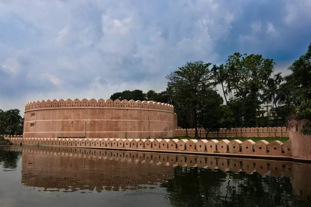
Description:
Gazipur Safari Park or Bangabandhu Safari Park is located in Maoana Uninor, Sreepur upazila of Gazipur district, 3 kilometers west of Dhaka’s Mymensingh highway on the Dhaka-Mymensingh highway 40 kilometers north of Dhaka. This Safari Park has been built in a large salon with small towers and low land rich in Bhawal average. The park has an area of 3690 acres, with an overview of the observation center. Because you are very close to Dhaka, you can come back with your family every day. The best thing about here is – here you will be in the cage and the tiger, the lion will find a feeling that you wander around.
Attractions:
Gazipur Safari Park is divided into five parts – Kor Safari, Safari Kingdom, Biodiversity Park, Extensive Asian Safari Park and Bangabandhu Square.
Core Safari: No tourists can enter here except cars. For visitors, there are two jeeps and two minibuses. Visitors or tourists can pay a specific fee and watch wild animals left in the actual environment by car or by jeep. The core safari park includes – tiger, lion, black bee, African leopard, Chitra deer, Samba, gaud, elephant, Maya and para deer.
Allocated for African Safari Park 240 acres. Among them, tigers, lions, white lions, zebra, giraffes, waldivists, oreis, black bowls, bears and other wildlife.
In tune with the tiger, lion, or giraffe, in the car safari park, you can capture the camera.
Safari Kingdom: Built in 556 acres, this part of Macau Land beside the gate. There are about 34 species of birds, including Blue-Sonny Macao, Green Macao, African Gray Parrot, Tia, Peliken, Lutino Ringkay Pert. All have been brought from Africa. Marine aquarium next to Macau Land. There are about 20 species of fish. Crocodil fees, Tiger fees, hidden goggles, Oscars. There is a chocolate fish that changes colors after 20 seconds. There are also butterfly safari. There are about 26 species of butterflies. The Safari Kingdom has a nature center, fancy carpark, giraffe feeding spot, island, boating and lake zones.
Also Orchid House, Vulture and Owl Corners, Egg World, Kangaroo, Elephant Show Gallery.
In the western part of the Safari Kingdom, parts were built separately, with three different birds. There are about eight species of birds in Dhanesh Pichisha. Already, different species of pants, fictitious riches, flamingos, black swan and rare species are called mandarin post.
Ticket Price:
The admission ticket will be available in the public per person in the park at 50 rupees and admission fee below 20 years of age will be Tk 20, students will get 10 rupees. The student group visits the education tour is 40 to 100 rupees, and if the student group is more than 100, then 800 rupees and five US dollars for foreign tourists.
Tickets for the adults who visit the Core Safari Park in the car are Tk 100 per ticket. 50 rupees for unmarried children Pedal boat travel 30 minutes’ money.
Apart from this, the Crown Fident Aviary visited 10 Taka, Dhanesh Avari 10 Taka, Parrot Avari 10 Taka.
Parking costs:
Bus parking is 200 taka. Mini bus or microbus parking 200 taka Car or jeep parking 60 taka Autorickshaw or CNG parking 60 taka